Archaeological Projects
Published: 2020-04-10
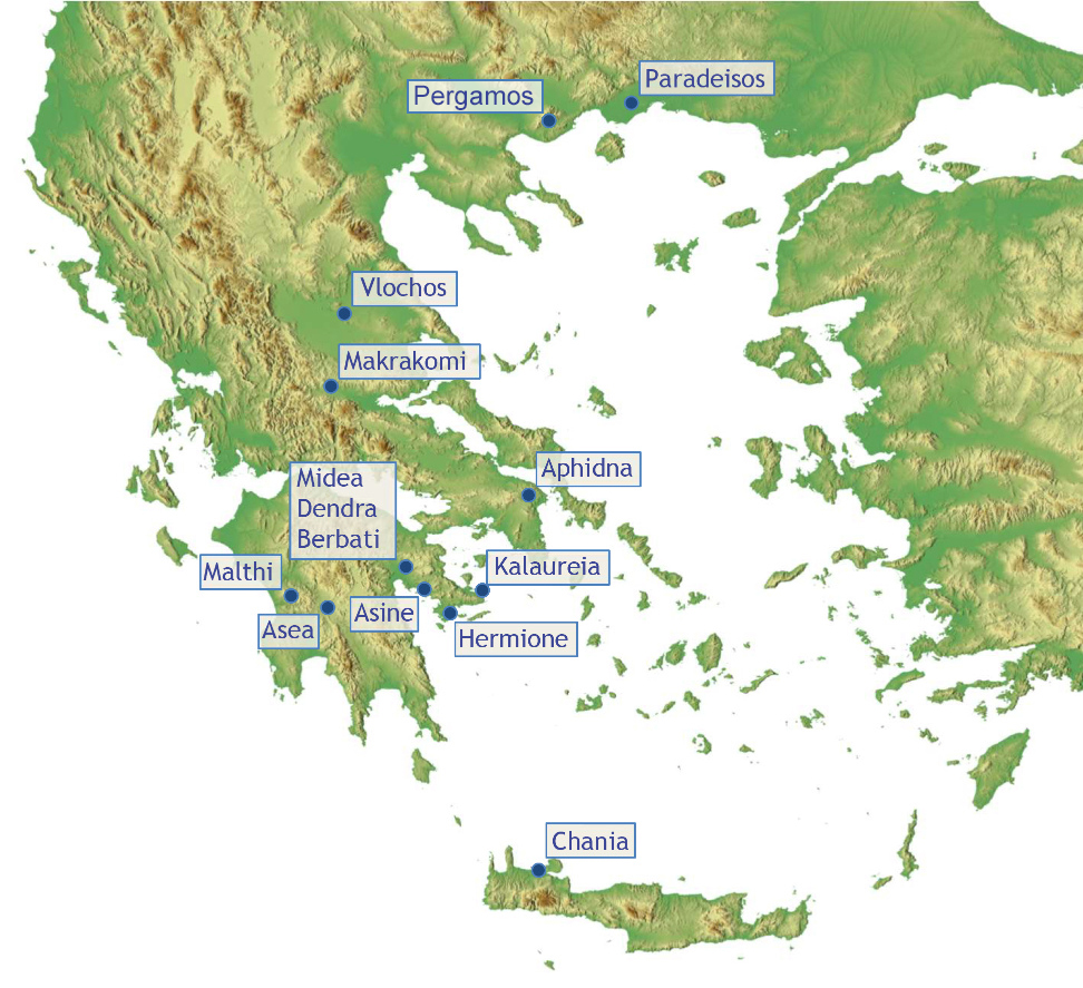
Map showing the location of fieldwork conducted by the Swedish Institute at Athens
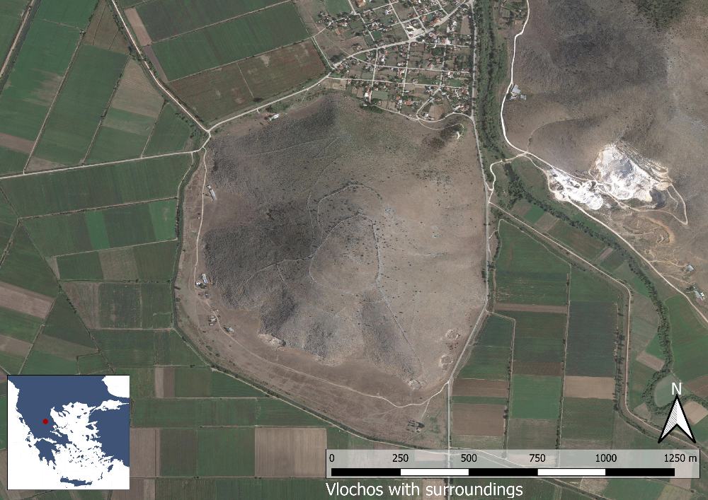
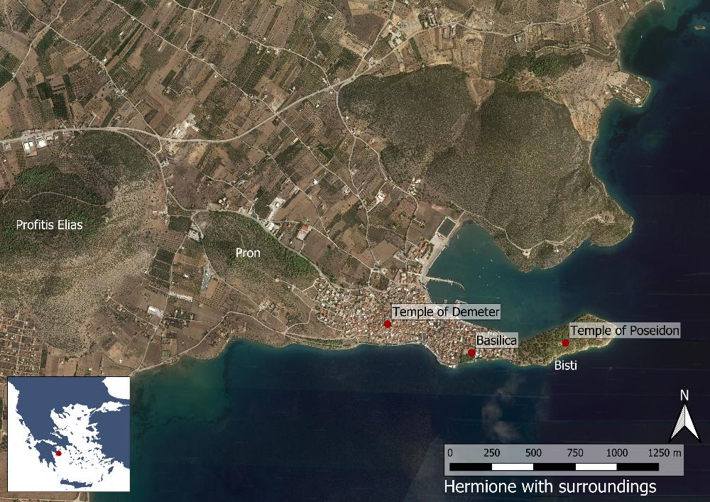
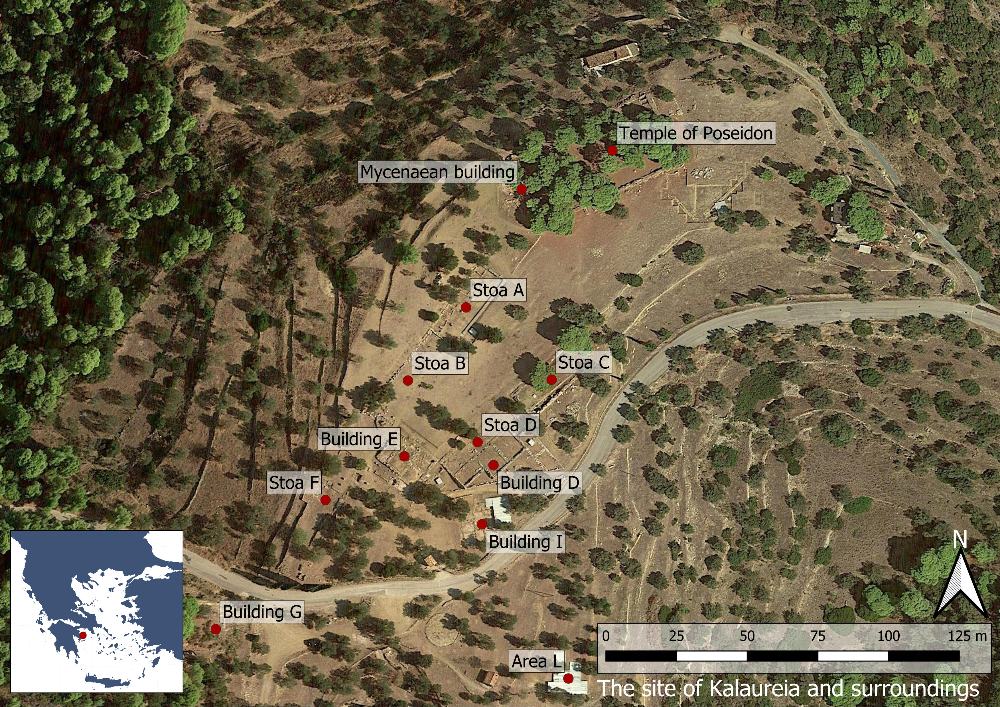
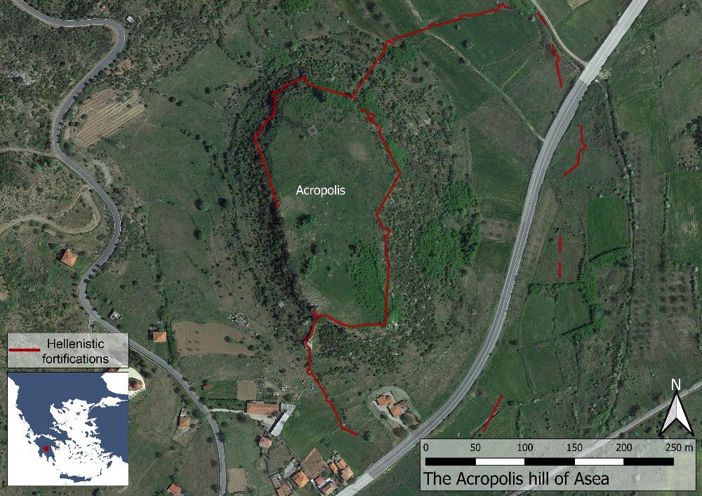
The first Swedish archaeological campaign in Greece took place in 1894 when Sam Wide and Lennart Kjellberg undertook excavations at the Sanctuary of Poseidon at Kalaureia (today the island of Poros). Since then a total of 13 sites have been explored by Swedish archaeologists. Most of them are located in the Peloponnese, but fieldwork has also been conducted on Crete, in Central Greece and Thrace. Today three projects include active ongoing field seasons (at Kalaureia, Vlochos and Hermione) while studies of previously excavated material from several other sites are undertaken continuously.
Ongoing archaeological projects
Under Publication
Previous