Kalaureia, Poros (1894 and 1997– ongoing)

Published: 2020-05-05
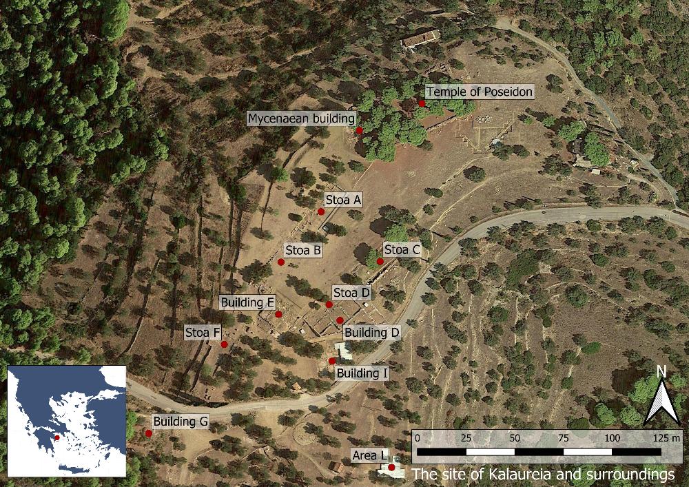
Fig. 1: Map over the site of Kalaureia (Basemap: Google maps satellite image).

Fig. 1: Map over the site of Kalaureia (Basemap: Google maps satellite image).

The Sanctuary of Poseidon on Kalaureia is located on the island of Poros in the Saronic Gulf, c. 6 km from Poros town. The site lies on a plateau between the hills of Aghios Elias and Vigla and holds a commanding position c. 200 m above sea level. To the north there is a visual connection with the Methana peninsula as well as the islands of Angistri and Aigina, while in the far distance it is possible to see Pireus and the coastline of Attica on clear days. To the south, the visitor can catch glimpses of the sea against the background of the steep Peloponnesian coast.

 

The Kalaureia Excavation Project 2021

Published: 2021-09-30

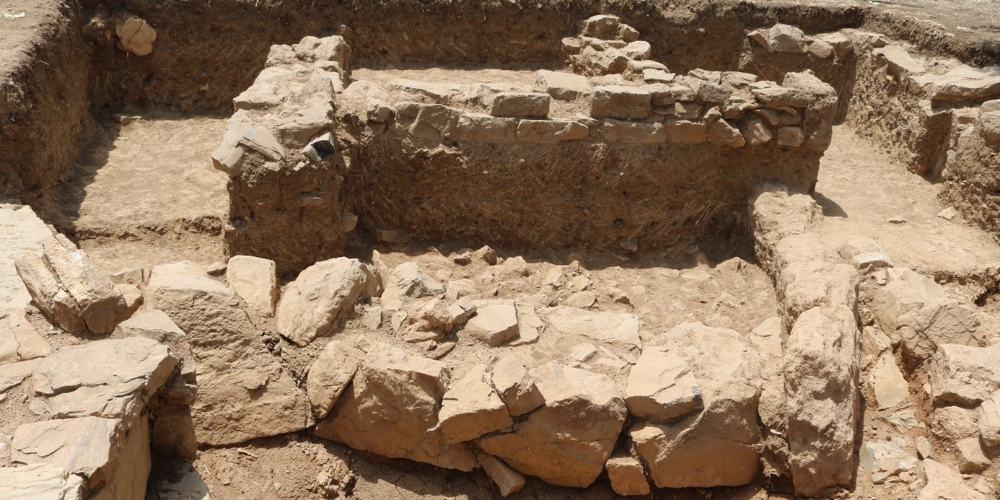
Fig. 1: Feature 3 (formed by lower walls) with the newly exposed Roman walls situated above it. Looking south.

Fig. 1: Feature 3 (formed by lower walls) with the newly exposed Roman walls situated above it. Looking south.

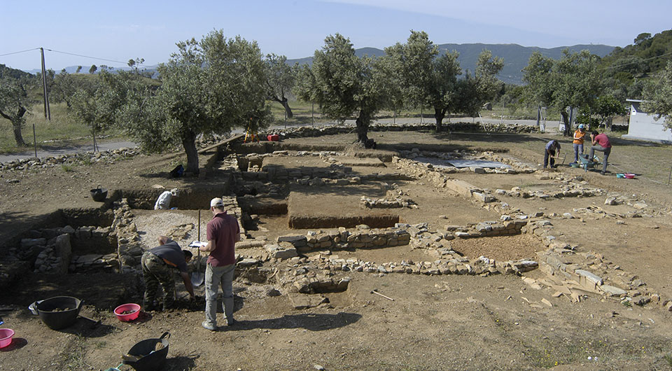
In 2021 the excavations at ancient Kalaureia (Poros) were continued in Area L, situated in a part of the site presumably belonging to the ancient settlement outside of the sanctuary of Poseidon. Previous investigations in Area L between 2015 and 2018 have revealed several structures that date from Classical times until the early Roman period. Given the finds of multiple storage vessels (pithoi) and a press stone dating to the Hellenistic period as well as spaces containing debris of cooking vessels and fine ware pottery, we believe that much of the area was used for cooking and dining.

Kalaureia

Published: 2015-06-23

Kalaureia excavation 20121

Excavations at the Sanctuary of Poseidon at Kalaureia on Poros were recommenced in June 2015 under the direction of Arto Penttinen.

×
×

We use cookies to enhance your online experience.
By browsing our site, you agree to our use of cookies.

Read More