Asine, Argolid (1922, 1924, 1926, 1930, 1970–1974, 1976–1978, 1985, 1989–1990, 2021)

Published: 2020-05-15
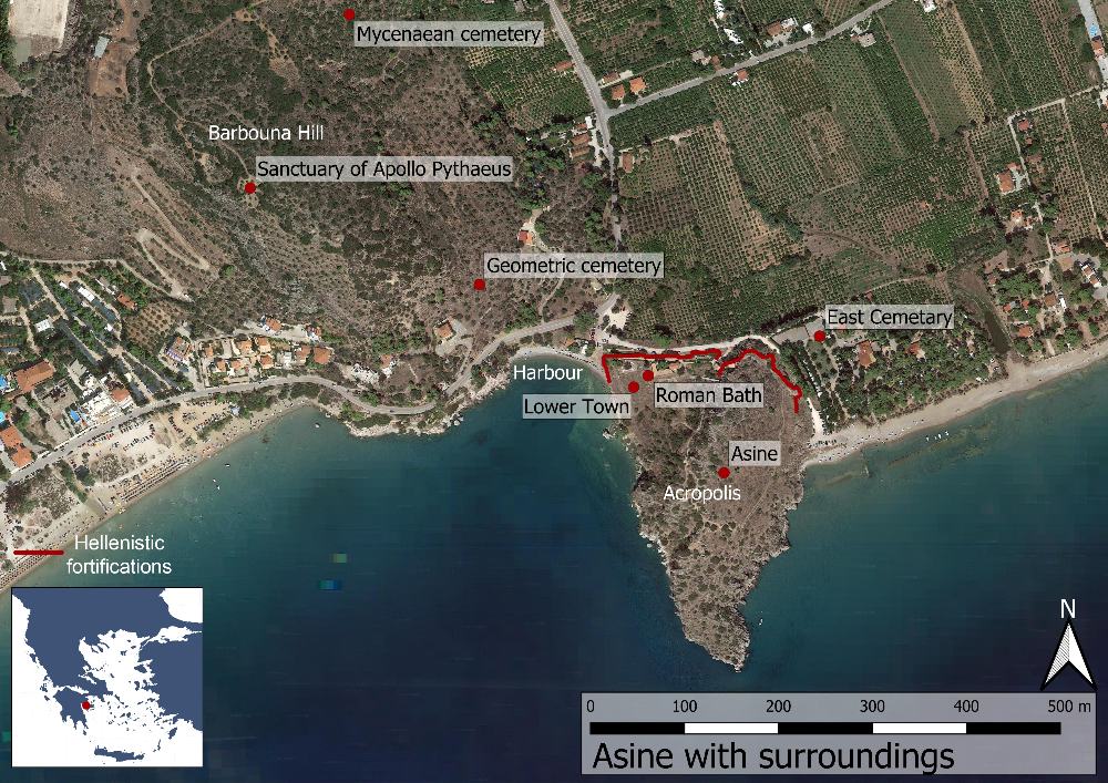
Fig. 1: Map over the site of Asine and its surroundings (Basemap: Google maps satellite image).

Fig. 1: Map over the site of Asine and its surroundings (Basemap: Google maps satellite image).

The site of Asine is located c. 8 km south-west of today’s city of Nauplio. The ancient remains here are spread out over the top and slopes of the 330 m long and 50 m tall acropolis cliff jutting out into the Argolis bay, as well as on the Barbouna hill just to the west. On both sides of the acropolis there are beaches, the western one providing an excellent harbour. Across from the acropolis the island of Romvi functions as a breakwater, protecting the landing.

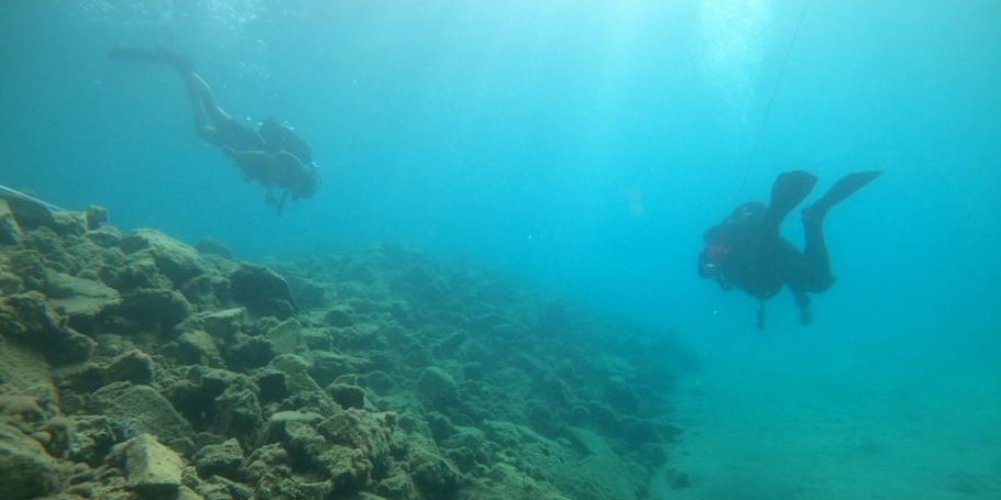
The Greek-Swedish maritime archaeological survey of the waters outside Asine and Tolo

Asine (Argolis, Greece), October 2023

Published: 2023-09-21

Photo: Niklas Eriksson

The  five-year maritime archaeological project, starting in October 2023, is a collaboration between the Ephorate of Underwater Antiquities, the Swedish Institute at Athens and Stockholm University, with participants also from the University of Gothenburg and the company Nordic Maritime Group. 

Asine, Argolis 2021

Asine Revisited – A Maritime Archaeological Investigation

Ann-Louise Schallin, Niklas Eriksson, Published: 2022-04-13

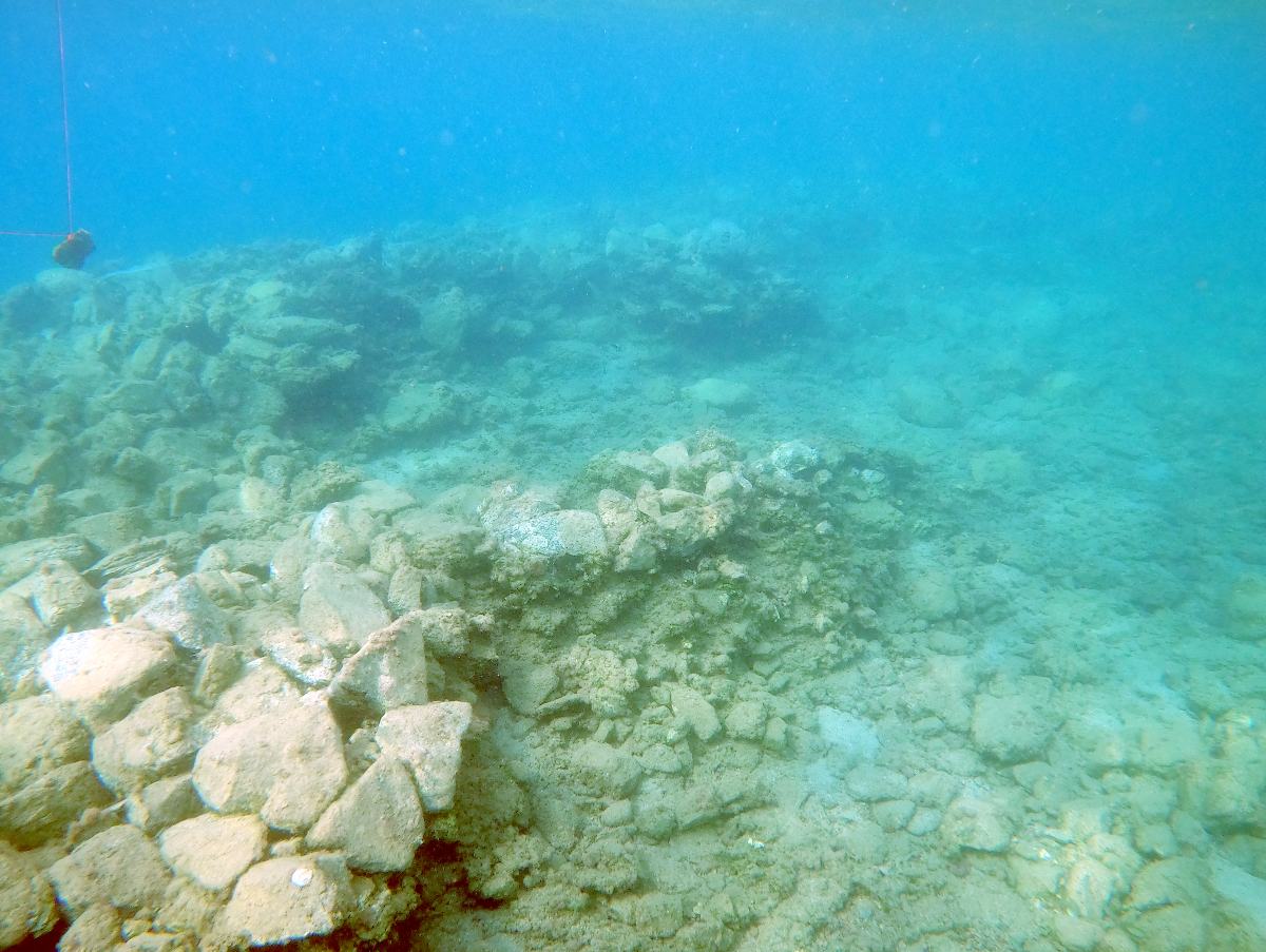
Fig. 1. In the water to the west of the Kastraki promontory there is a built stone platform with presumed building remains. Photograph: Niklas Eriksson.

Fig. 1. In the water to the west of the Kastraki promontory there is a built stone platform with presumed building remains. Photograph: Niklas Eriksson.

A pilot underwater archaeological investigation took place in October 2021 in the waters outside Asine and Tolon. The project was a collaboration between the Ephorate of Underwater Antiquities, the Swedish Institute at Athens and Stockholm University, with participants also from the University of Gothenburg and the company Nordic Maritime Group. The project aimed to document the seabed with a so-called “sidescan sonar” (an advanced sonar) and to carry out dives at anomalies that were identified. The project also included an investigation of the seabed around the Kastraki promontory itself, outside the ancient settlement.

×
×

We use cookies to enhance your online experience.
By browsing our site, you agree to our use of cookies.

Read More