Paradeisos, Thrace (1976)
Published: 2020-06-23
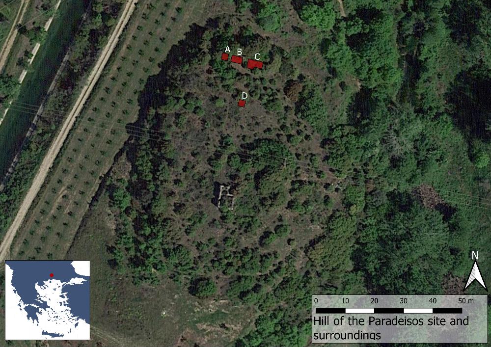
Fig. 1: Map over the site of Paradeisos (Basemap: Google maps satellite image).
Located in the modern region of Eastern Macedonia and Thrace in northern Greece, Paradeisos is situated on a flat hilltop at the west bank of the river Nestos. Today the site is known as Klisi Tepe (a Turkish rendering of the Greek word for church, ekklisia and the word for hill) after the ruin of a Byzantine church on top of it. Just to the north of the hill the Rhodopes mountains rise sharply, while to the south the river has created a large plain, extending 30 km towards the Aegean. In the past the settlement was probably situated much closer to the coastline, which has since expanded. The location is clearly of great strategic importance as the Via Egnatia has crossed the river here at least since Hellenistic times, presumably following an even earlier stretch.